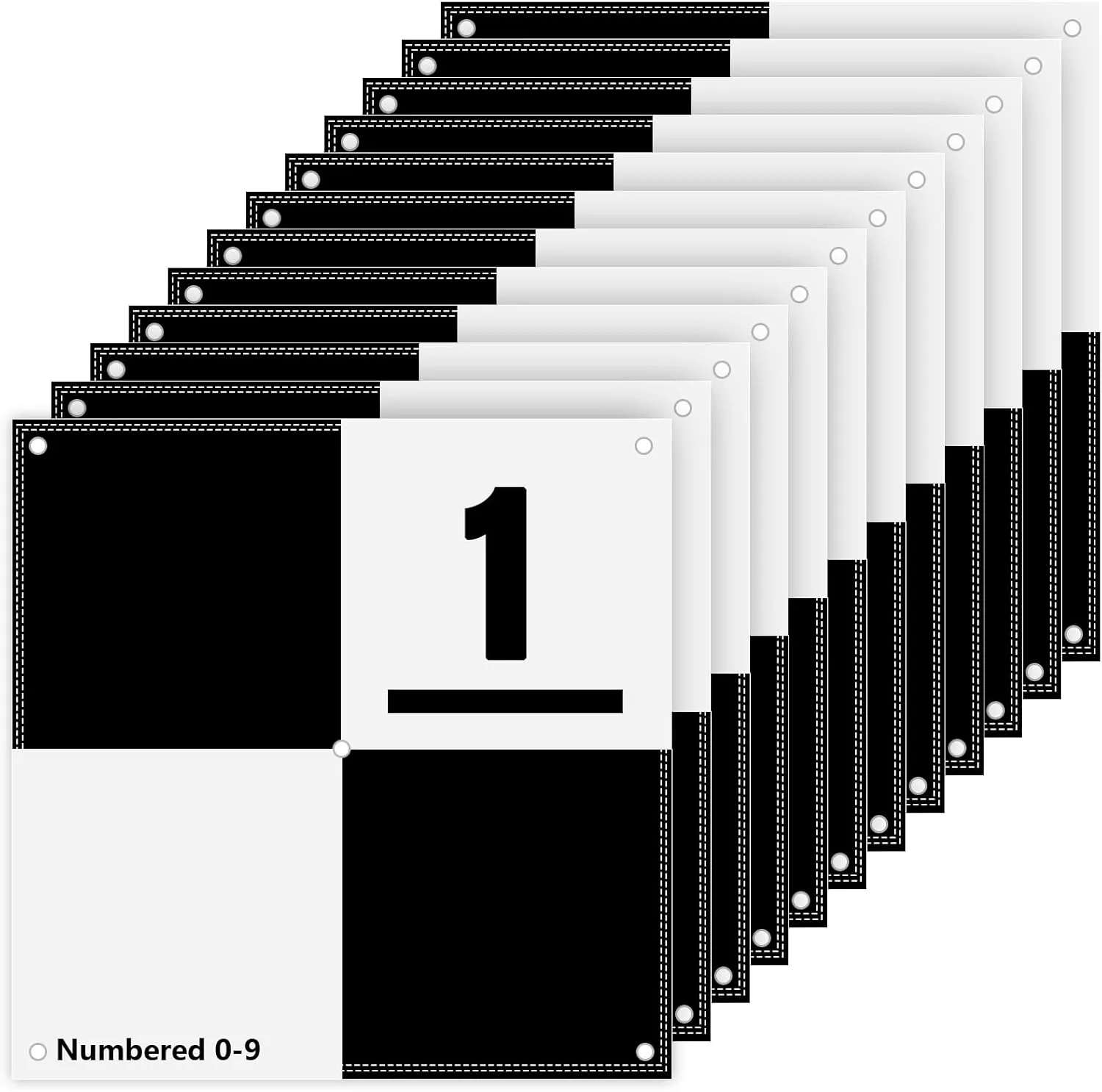
- 【Number 0-9】The package contains 10 Pack Drone Ground Control Point GCPs, numbered 0, 1, 2, 3, 4, 5, 6, 7, 8, 9. It can easily identify and track aerial targets in the field and associate each aerial target with a specific set of coordinates, helping to improve the efficiency of surveying and mapping projects.
- 【BLACK WHITE】Our GCPs are in black and white with strong color contrast to provide optimal visibility in bright conditions. Using our GCPs allows you to capture accurate data more accurately.
- 【SIZE】At 24 inches long and wide, they are the perfect size for any drone surveying and mapping tasks. This size ensures they can easily handle drone surveying tasks at sufficient altitude.
- 【DURABILITY】Made of high-quality Oxford cloth, it has good wear resistance, scratch resistance and waterproofness. You don't have to worry about the center point of the ground target getting wet and damaged after multiple uses. The numbers are screen-printed, with clear black and white.
- 【Five Holes】 Our UAV Drone Ground Control Point GCP has 4 corner holes and one center hole, which can be used to fix the GCP firmly to the ground, allowing it to work properly in windy environments.
10 Pack UAV drone survey markers, Drone Ground Control Point GCP
24"x24"
Black and white checkerboard pattern
Numberd 0-9
Durability:Made of high-quality Oxford cloth, it has good wear resistance, scratch resistance and waterproofness. You don't have to worry about the center point of the ground target getting wet and damaged after multiple uses. The numbers are screen-printed, with clear black and white.
Five Holes:Our UAV Drone Ground Control Point GCP has 4 corner holes and one center hole, which can be used to fix the GCP firmly to the ground, allowing it to work properly in windy environments.
Number 0-9:The package contains 10 Pack Drone Ground Control Point GCPs, numbered 0, 1, 2, 3, 4, 5, 6, 7, 8, 9. It can easily identify and track aerial targets in the field and associate each aerial target with a specific set of coordinates, helping to improve the efficiency of surveying and mapping projects.
Notes:
Manual measurement, please allow slight errors on size.
The color may exist a slight difference due to different screen displays.


